Mathias Hauser
![]()
![]()
Mathias Hauser

### Description pcolormesh no longer draws the "other half" of gridpoints that have their center at the edge of the maps - see the example and figure. This may very...
**Checklist prior to opening an issue** - [x] I have followed fully the installation steps laid out in the documentation site. - [x] I have restarted jupyterlab. - [x] I...
See figure: 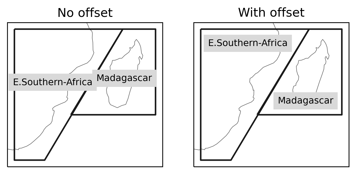 The API would probably be something along the lines ```python ar6.plot(offsets={"MDG": (-0.75, 0), ...}) ``` (and _not_ how it's shown below). Difficulty: what to do about `label_multipolygon="all"`...
- [x] Tests added - [x] Passes `isort . && black . && flake8` - [ ] Fully documented, including `whats-new.rst` WIP for compatibility with shapely 2 that is merged...
Currently - if the coordinates are not named `"lat"` and `"lon"` we need to pass them manually, e.g.: ```python import regionmask import xarray as xr rasm = xr.tutorial.load_dataset("rasm") regionmask.defined_regions.srex.mask(rasm.xc, rasm.yc)...
If the coords are named `"lon"` and `"lat"` we can do the following: ```python region.mask(ds) ``` If they are named `"longitude"` and `"latitude"` we have two possibilities: ```python region.mask(ds, lon_name="longitude",...
- [x] Closes #346 - [x] Tests added - [x] Passes `isort . && black . && flake8` - [x] Fully documented, including `whats-new.rst` A WIP to add cf-compliant flags....
See top left corner of the regions. Definitely not terrible but could be better ;-) 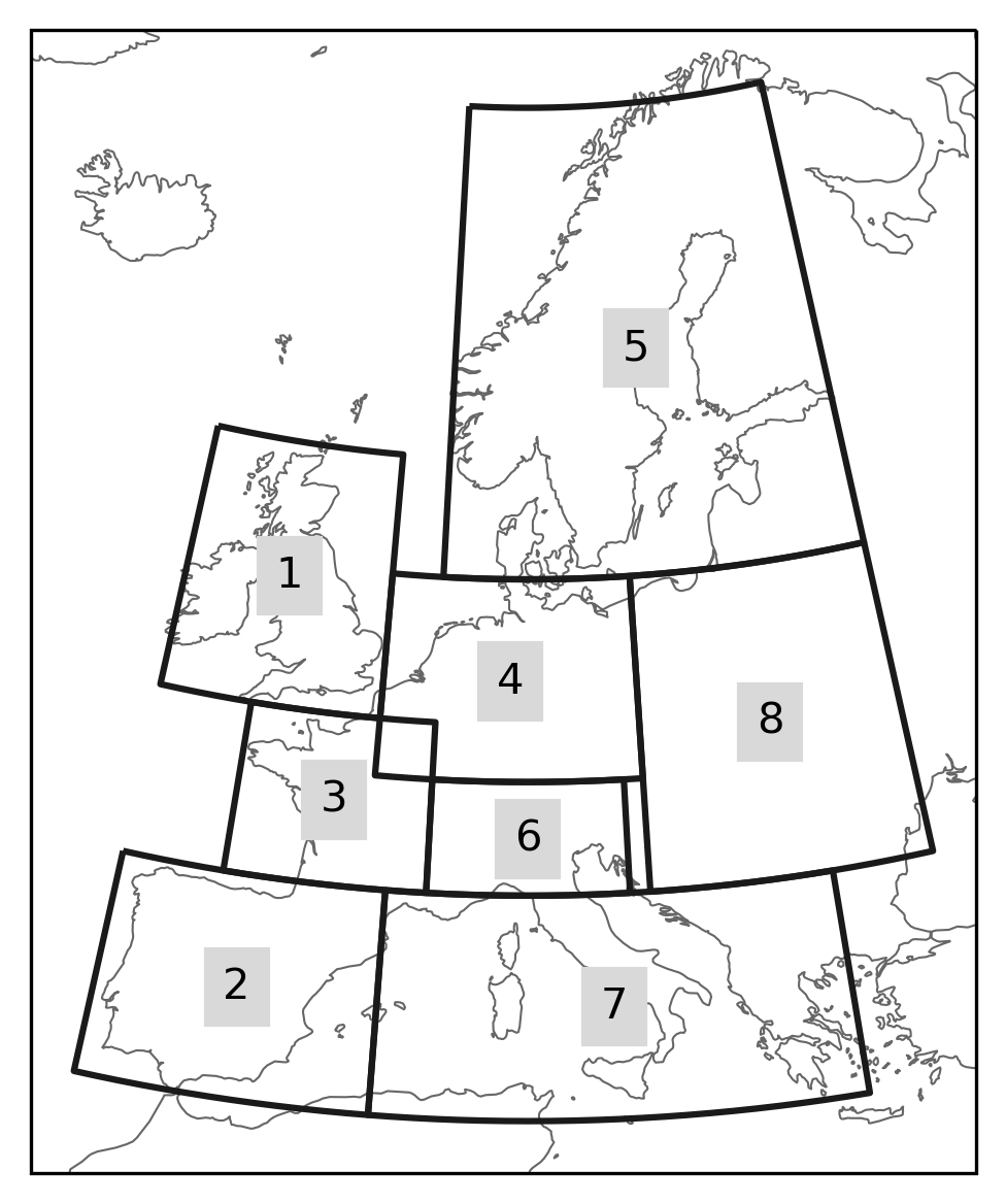
Is done by the general stack by now. Only after ~0.9~ 0.10 I'd say.
Selecting the `method` in `mask` does not actually change what's happening - both `"rasterize"` and `"shapely"` lead to the same mask - so `method` is actually misleading, `backend` would be...