Mathias Hauser
![]()
![]()
Mathias Hauser

Implementing #249 should fix #213 and should actually also fix #208. Then the `wrap_lon` keyword should really be superfluous. The only remaining use case would be to set `wrap_lon=False` when...
Alternative: go via geopandas, pygeos or proj (which would be done internally anyway). This would just be a convinience function. Note: I am not sure about adding a `crs` to...
Not sure if that's something I would use... How would that work (I mean the API not technically)? Wrapping `xr.weighted`? `regionmask.agg(ds, regions)`?
https://github.com/regionmask/regionmask/blob/1dc7895a00a15d26ab37e65f17acc7037608d162/regionmask/core/mask.py#L118 should be `np.nanmean`
Assume I want to split a country/ region into two regions - how can I achieve this? E.g. define an eastern and western US.
It could be nice to know which regions are fully contained within the grid. E.g. in the figure below that would be regions 3, 4, 5, and 6: 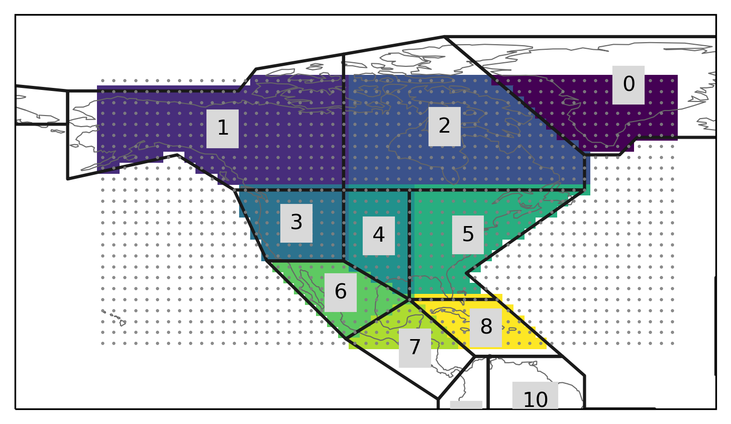
Currently I use the one from xarray which is only over north america.
The call signature of all `mask` functions is ```python def mask(lon_or_obj, lat=None, ...) ... ``` Check if that can be written as: ```python def mask(*coords, ...) ... ```