Travis
Travis
> Yep, nano too. A few users are testing a tiny carrier board for the Nano designed for drones. > > 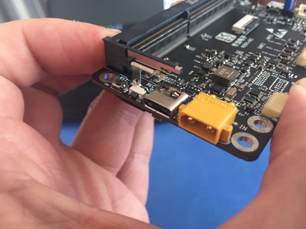 what carrier boards are you...
Supposedly Q1 of this year but since the lack of progress who knows when!
I was thinking along the lines of a straight down image capture, using OpenCV to stitch 4 photos and getting the GPS points of the center of the images then...
I have tinkered with OpenCV, Version 3.0 and up has some really good stitching options but haven't worked with them. Also from another perspective for NADIR, If a way exists...
I would say static images, Video is nice but it's the raw imagery that I think is more important. By the way here is my UAS/911 Ops portal, DEM, Contours,...
QGIS with QTiles, Nexrad comes from IEM's (https://mesonet.agron.iastate.edu/GIS/) server, Had Geoserver going with WMS but it was kinda slow (I had two instances of cesium running, I would like to...
On the camera NADIR integration would it be possible to set the Cesium.PerspectiveFrustum(options) to the GoPro FOV, Then capture the geospatial bounds on the camera trigger? Also, I was thinking...
And I'm back! lol, I'm working on trying to make cesium transparent so a bottom div can be a video stream with the layers overlayed. Something like Churchill Navigation.
Yes! When you were working on overlaying video did you ever work with the cesium FOV? I'm trying to get a grasp on the width or to use the diagonal...