Bug: geojson export doesn't match up with visualized map on site
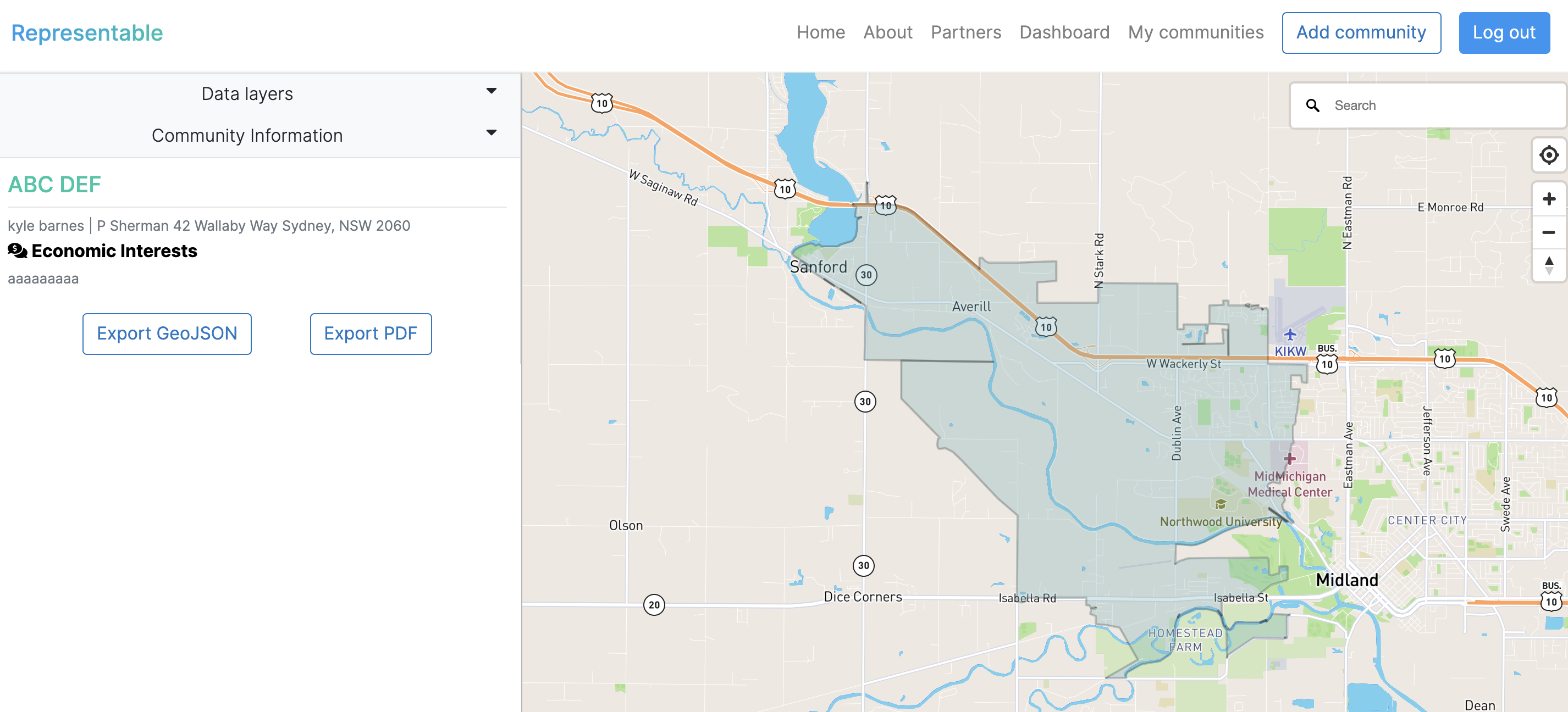
Describe the bug Exporting geojson includes a census block multipolygon of all census blocks that are a part of the community. our map pages display just the outline of this area.
To Reproduce Steps to reproduce the behavior:
- Go to submission page
- Click on "export geojson"
- View on QGIS or other software
- Compare to polygon on submission page
Expected behavior Polygons should match
Screenshots
If applicable, add screenshots to help explain your problem. note: this is a community i made to deliberately point out the bug with non-continguous communities via census block layers
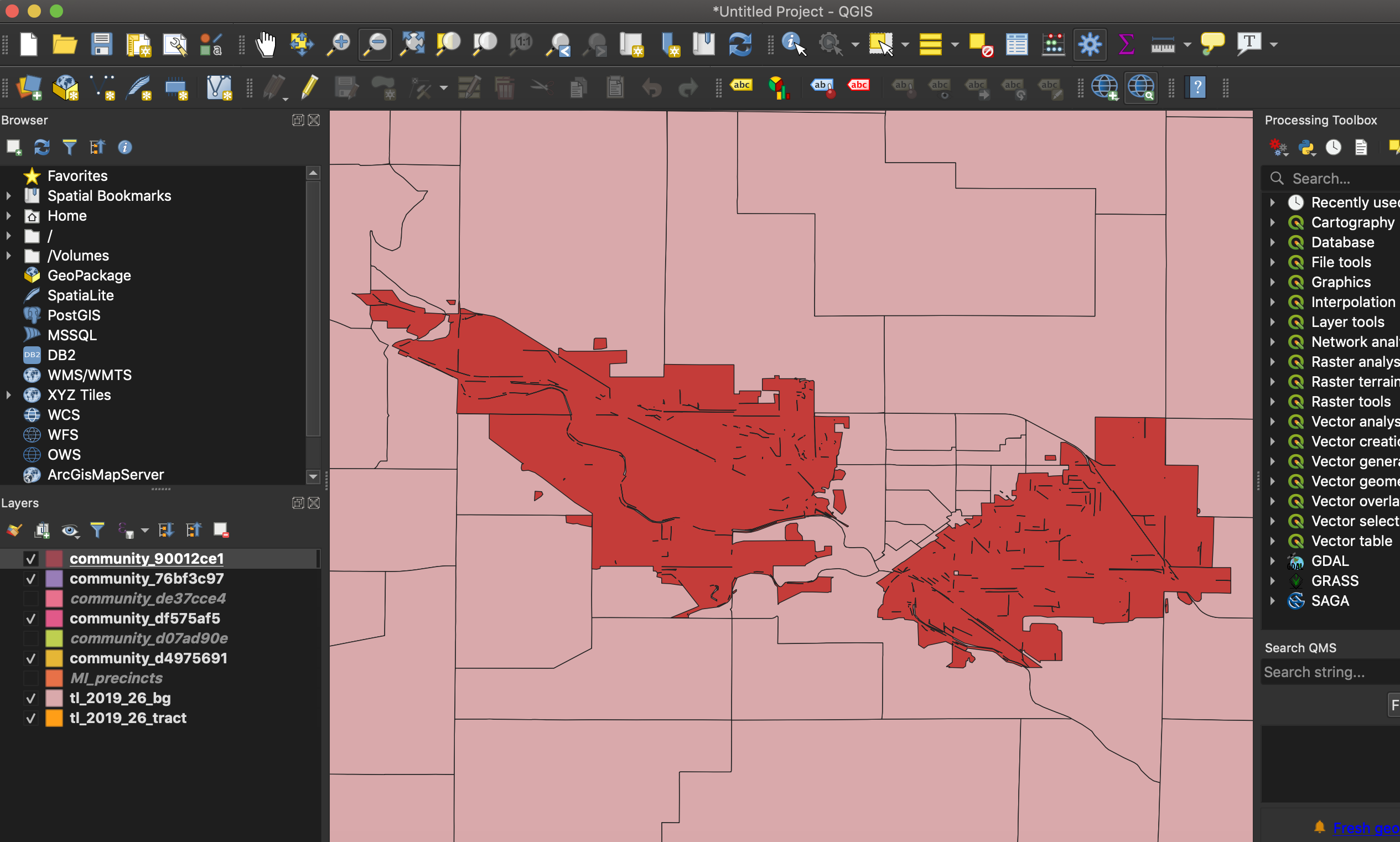 (layer underneath is block groups)
Additional context blocker: decision on changing census block layers or not
@k-y-le is this still true or should we close this?
keeping this open for now -- it's mostly fixed (no more multipolygons, no more strange spaces in the middle of the polygon), but there still could be a discrepancy for a community with block group "holes" in the middle -- waiting on community entry model change for that